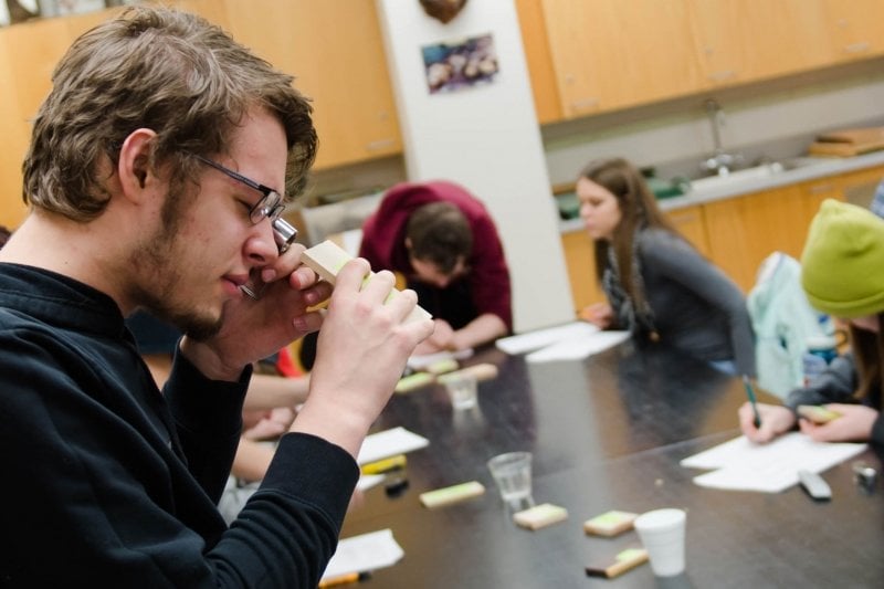
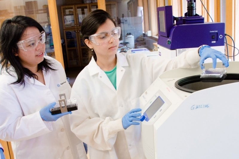
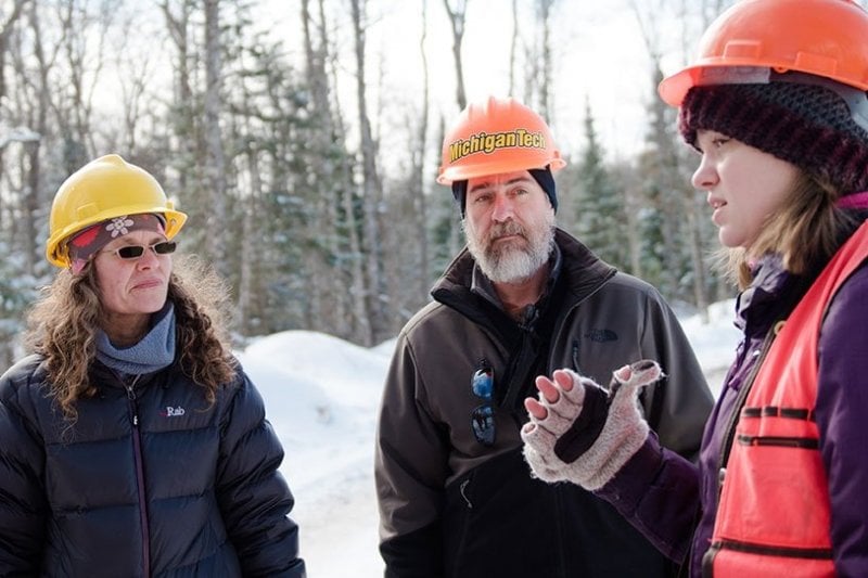
Identification_Information Citation Citation_Information Originator: Michigan Technological University Publication_Date: 08/01/01 Title: FIA Plots Publication_Information Publication_Place: Houghton, MI Publisher: Michigan Technological University Description Abstract: This data set contains Forest Inventory and Analysis (FIA) plots. Locations are equivalent to those given in the comma delimited (csv) file provided by the Forest Service - United States Department of Agriculture. Associated attribute data contain the FIA plot level information (record type 20) also provided in the csv file from the Forest Service. The data provided by the Forest Service were downloaded from the web and processed in a database management system (DBM) and in Arc/Info to create a point coverage of the FIA plots. Purpose: The purpose is to provide a point coverage of the FIA plots in FIAMODEL. http://forestry.mtu.edu/data/fiamodel Time_Period_of_Content Time_Period_Information Range_of_Dates/Times Beginning_Date: 01/01/98 Ending_Date: ? Currentness_Reference: Publication Date Status Progress: Complete Maintenance_and_Update_Frequency: Varies Spatial_Domain Bounding_Coordinates West_Bounding_Coordinate: varies by state East_Bounding_Coordinate: varies by state North_Bounding_Coordinate: varies by state South_Bounding_Coordinate: varies by state Keywords Theme Theme_Keyword_Thesaurus: None Theme_Keyword: elevations Theme_Keyword: point Place Place_Keyword_Thesaurus: None Place_Keyword: state Use and Access_Constraints: There should be no distribution of these data to third parties, though interested parties can be directed to Michigan Technological University, School of Forestry, or http://forestry.mtu.edu/data/fiamodel. These data are copyrighted by Michigan Technological University (2001). Appropriate credit should be given in analyses or reporting of results developed using these data by citing the following publication: Reed, D., K. Pregitzer, S. Pugh, and P. Miles, 2001. Fiamodel A New Link for Geographic Analyses of Inventory Data. Journal of Forestry 99(6):21-24. Point_of_Contact Contact_Information Contact_Organization_Primary Contact_Organization: Michigan Technological University Contact_Person: Scott A. Pugh, School of Forestry & Wood Products Contact_Position: GIS/Remote Sensing Analyst Contact_Address Address_Type: mailing and physical address Address: 1400 Townsend Drive City: Houghton State_or_Province: MI Postal_Code: 49931-1295 Country: USA Contact_Voice_Telephone: (906)-482-6303 Contact_Facsimile_Telephone: (906)-482-6355 Contact_Electronic_Mail_Address: sapugh@mtu.edu Hours_of_Service: vary Native_Data_Set_Environment: Arc/Info 8.+ Data_Quality_Information: Attribute_Accuracy Attribute_Accuracy_Report: The attributes of the FIA plots were provided by the Forest Service. The accuracy reflects the content of the data offered on the web by the Forest Service. Logical_Consistency_Report: Since the plot locations are "fuzzed" by the Forest Service, some inconsistencies can occur. For example, a plot may have attribute information indicating that it is part of county "A," but it may actually show up in the adjoining county "B." Completeness_Report: Data set is complete. Reflects content of original Forest Service data. Positional_Accuracy Horizontal_Positional_Accuracy Horizontal_Positional_Accuracy_Report: The nominal horizontal accuracy is approximately 1 mile. The horizontal accuracy can be much less depending on how each state "fuzzed" the locations. In some cases the county centroid may be used when the actual location is not available. Actual plot locations can not be released. Vertical_Positional_Accuracy Vertical_Positional_Accuracy_Report: NONE Lineage Source_Information Source_Citation Citation_Information Originator: Forest Service - United States Department of Agriculture, Forest Inventory and Analysis (FIA) http://www.srsfia.usfs.msstate.edu/ewdata/ewrec.htm Publication_Date: Changes as new data are available Title: FIA Database Edition: varies based on inventory year Edition: varies based on inventory year Publication_Information Publication_Place: varies Publisher: Forest Service-U.S. Department of Agriculture Other_Citation_Details: This data is usually downloaded from the web or it is sometimes sent by mail upon request. Source_Scale_Denominator: 0 Type_of_Source_Media: direct field measurements, computed from tree measurements and model predictions Source_Time_Period_of_Content Time_Period_Information Range_of_Dates/Times Beginning_Date: Varies depending on the state Ending_Date: ? Source_Currentness_Reference: Source_Citation_Abbreviation: 1 Source_Contribution: This is the attribute data and coordinate locations used to create the FIA plot point coverage in FIAMODEL. Source_Information Source_Citation Citation_Information Originator: Michigan Technological University, School of Forestry and Wood Products Publication_Date: Changes as new data are available Title: FIA Plot Coverage Publication_Information Publication_Place: Michigan Technological University Publisher: Michigan Technological University Other_Citation_Details: Produced continually as new data sets are available from FIA. Source_Scale_Denominator: 0 Type_of_Source_Media: web download Source_Time_Period_of_Content Time_Period_Information Range_of_Dates/Times Beginning_Date: 01/01/98 Ending_Date: ? Source_Currentness_Reference: Source_Citation_Abbreviation: 2 Source_Contribution: This is the FIA plot coverage used in FIAMODEL. Process_Step Process_Description: FIA data are downloaded from the web in comma delimited format. A database management system is used to calculate standing volumes, annual net growth, annual mortality, and annual removals by plot. Trees per acre by unique species and dbhclass combination is also calculated. A table with these variables and plot level attributes is exported in dbase format. A second table is exported with plot coordinates. Both tables are imported into Arc/Info. The coordinates are used to create a FIA point coverage with the generate command. Dbaseinfo is used to import the plot attributes. The attributes are joined to the FIA point coverage using joinitem. Next, the coverage is built using the build command with the point option. The projection system is defined with projectdefine. Finally, some quality control checks are performed on the coverage. Plots are checked for correctly associated attributes. Any plots that do not have attributes are deleted(extraneous plots). Process_Date: 1998 - ? Spatial_Data_Organization_Information: Direct_Spatial_Reference_Method: Point Point_and_Vector_Object_Information SDTS_Terms_Description SDTS_Point_and_Vector_Object_Type: Point Point_and_Vector_Object_Count: varies by state Spatial_Reference_Information: Horizontal_Coordinate_System_Definition: Geographic Latitude_Resolution: Varies depending on when the plots were acquired and what state acquired the plots Longitude_Resolution: Varies depending on when the plots were acquired and what state acquired the plots Geographic_Coordinate_Units: Decimal degrees Geodetic_Model Horizontal_Datum_Name: Varies depending on when the plots were acquired and what state acquired the plots Ellipsoid_Name: Varies depending on when the plots were acquired and what state acquired the plots Semi-major_Axis: Varies depending on when the plots were acquired and what state acquired the plots Denominator_of_Flattening_Ratio: Varies depending on when the plots were acquired and what state acquired the plots Entity_and_Attribute_Information: See "The Forest Inventory and Analysis Database: Users Manual Version 1.0" Distribution_Information: Distributor Contact_Information Contact_Organization_Primary Contact_Organization: Michigan Technological University Contact_Person: Scott A. Pugh, School of Forestry & Wood Products Contact_Position: GIS/Remote Sensing Analyst Contact_Address Address_Type: mailing and physical address Address: 1400 Townsend Drive City: Houghton State_or_Province: MI Postal_Code: 49931-1295 Country: USA Contact_Voice_Telephone: (906)-482-6303 Contact_Facsimile_Telephone: (906)-482-6355 Contact_Electronic_Mail_Address: sapugh@mtu.edu Hours_of_Service: vary Distribution_Liability: MICHIGAN TECHNOLOGICAL UNIVERSITY WILL NOT BE LIABLE TO ANY PARTY FOR DIRECT, INDIRECT, SPECIAL, INCIDENTAL, OR CONSEQUENTIAL DAMAGES. THIS MAY INCLUDE LOST PROFITS ARISING FROM THE USE OF THIS DATA AND ITS DOCUMENTATION, EVEN IF MICHIGAN TECHNOLOGICAL UNIVERSITY HAS BEEN ADVISED OF THE POSSIBILITY OF SUCH DAMAGE. MICHIGAN TECHNOLOGICAL UNIVERSITY SPECIFICALLY DISCLAIMS ANY WARRANTIES INCLUDING, BUT NOT LIMITED TO, THE IMPLIED WARRANTIES OF MERCHANTABILITY AND FITNESS FOR A PARTICULAR PURPOSE. THE DATA HEREUNDER IS PROVIDED "AS IS." Metadata_Reference_Information: Metadata_Date: 08/01/01 Metadata_Review_Date: 08/01/01 Metadata_Contact Contact_Information Contact_Organization_Primary Contact_Organization: Michigan Technological University Contact_Person: Scott A. Pugh, Michigan Technological University Contact_Address Address_Type: mailing and physical address Address: 1400 Townsend Drive City: Houghton State_or_Province: MI Postal_Code: 49931-1295 Country: USA Contact_Voice_Telephone: (906)-482-6303 Contact_Facsimile_Telephone: (906)-482-6355 Contact_Electronic_Mail_Address: sapugh@mtu.edu Hours_of_Service: vary Metadata_Standard_Name: FGDC Content Standards for Digital Geospatial Metadata Metadata_Standard_Version: FGDC-STD-001-1998